This August I had the great fortune to participate in ExpoGolfo Dulce, the first of a regional trade fair with a tourism emphasis for the Southern region of Costa Rica, as a representative of Green Circle Experience, People of Costa Rica, Costa Rica Species and Imagine Paradise.
The activity was organized by the Golfito Chamber of Commerce and included the participation of chambers, cantons and regions of Pérez Zeledón, Coto Brus, Sierpe, Uvita and Puerto Jiménez.
The south rewards those who seek it.
The south is far away. A car trip can take about six and a half hours, or only five if you’re lucky.
There are different ways to chart this course to the Golfo Dulce, each with its own rhythm and personality:
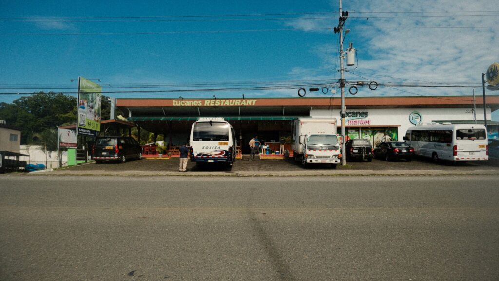
El Camino del Mar: La Costanera Sur (Ruta 34)
Si se busca la vía más directa (tomando unas 5 horas y media) con la brisa del Pacífico de acompañe, tomar la Ruta 27 para desviarse por la Costanera Sur es la opción ideal. El paisaje transita por Jacó, Quepos, Dominical y Uvita. Para quienes viajamos en vehículos eléctricos, esta ruta es viable y segura, pues cuenta con una sólida y confiable red de puntos de carga rápida que permite llegar a Río Claro y tomar el desvío final (Ruta 14) hacia Golfito.
The Sea Road: The Southern Coastal Road (Route 34)
If you’re looking for the most direct route (taking about 5.5 hours) with the Pacific breeze as your companion, taking Route 27 and then turning off onto the Costanera Sur is the ideal option. The scenery passes through Jacó, Quepos, Dominical, and Uvita. For those of us traveling in electric vehicles, this route is viable and safe, as it has a solid and reliable network of fast-charging stations that allows you to reach Río Claro and take the final turn (Route 14) towards Golfito.
Through the Clouds: Route 2 (Death Hill)
If you have more time and want the road trip to go from being a routine to an expedition (why not for several days?), the Inter-American Highway South takes you through the highest peaks in the country before descending into the deep tropics:
- Los Quetzales National Park and San Gerardo de Dota:High in the páramo, the cold invites us to pause. (Chespiritos is always recommended for a good aguadulce) It is the perfect ecosystem to search for the quetzal, stay in an eco-lodge immersed in the cloud forest and enjoy a fresh trout next to the crystal Savegre River.
- San Isidro de El General:As we descend, the warm weather returns. The vibrant center of Pérez Zeledón is a strategic hub to stretch our legs, grab a bite at a traditional soda restaurant, and recharge before venturing further south.
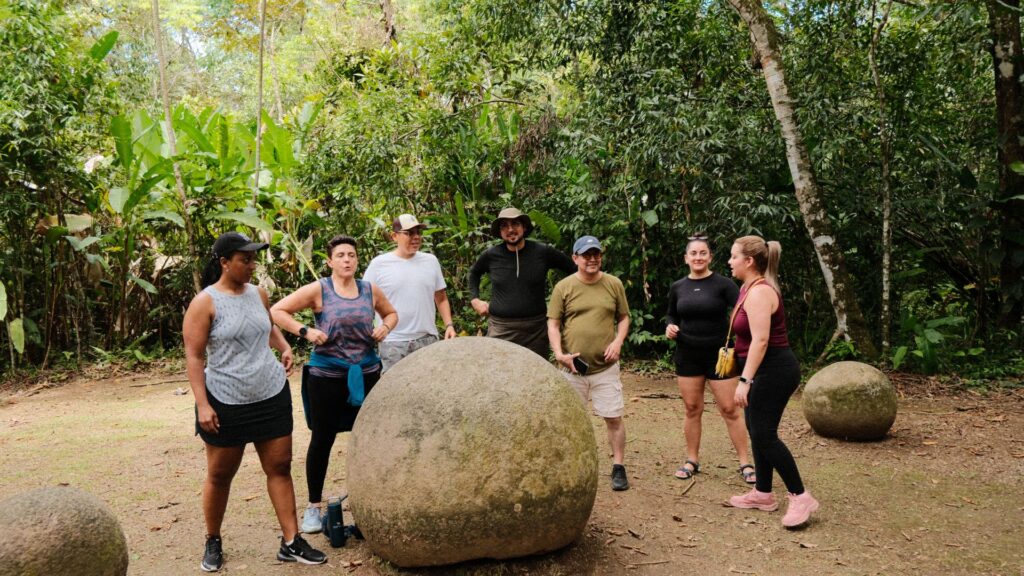
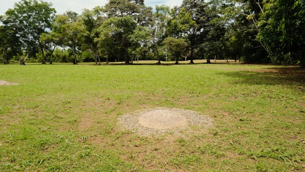
- Boruca and Finca 6:Further along the route, Finca 6 is a must-see archaeological site, the epicenter of Costa Rica’s mysterious stone spheres. We can reconnect with our indigenous roots by supporting fair trade in masks hand-carved by Boruca artisans, and later, marvel at the legacy and mystery of the pre-Columbian stone spheres in the Diquís Delta.
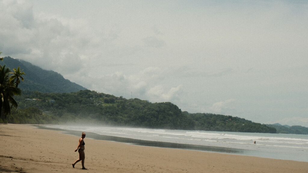
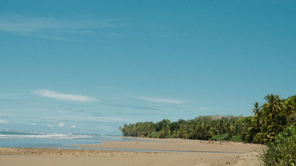
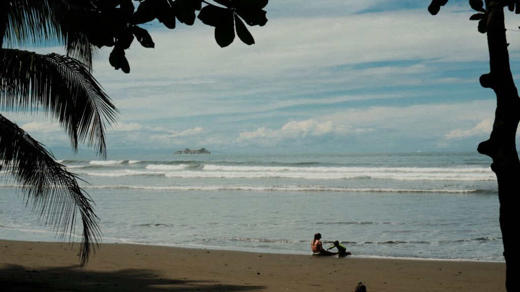
Public Transport and Shuttles
For those who prefer to admire the scenery without having to worry about the steering wheel, the buses ofTracopaThey make the direct trip from San José in about 6 to 7 hours. It’s an economical alternative (between $21 and $25) that allows you to immerse yourself in reading or simply watch Costa Rica pass by the window. There are also services ofprivate transport (shuttles)For families or groups looking for the convenience of door-to-door service with flexible scheduling.
The Flight: The Fast Track to Paradise
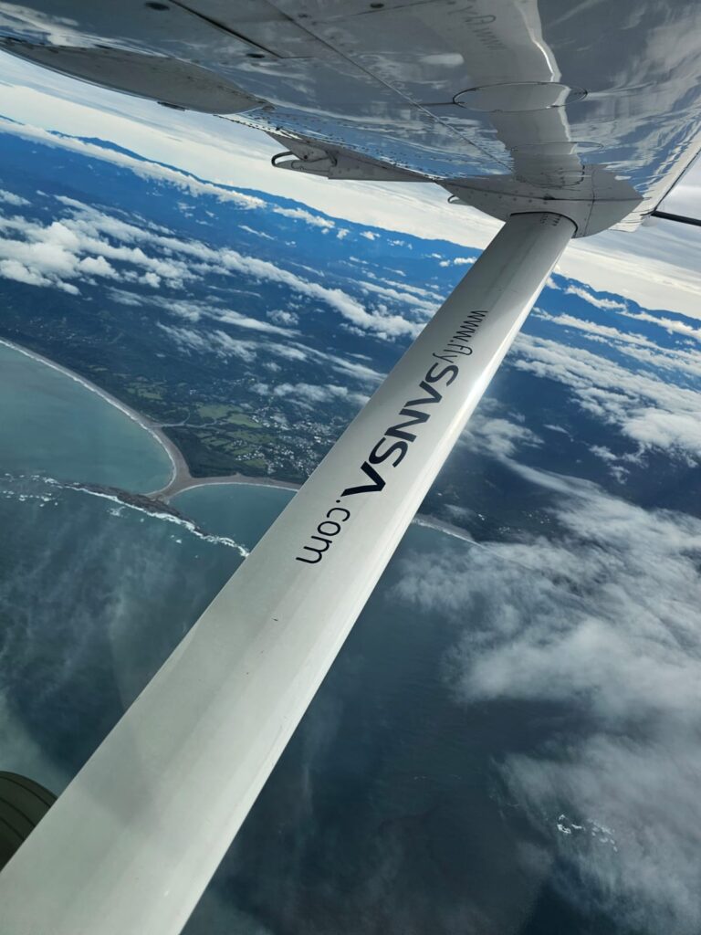
If your itinerary is tight, the distance seems to vanish from the air. Taking a domestic flight with airlines like Sansa from Juan Santamaría Airport will land you at either the Golfito or Puerto Jiménez airfields in just an hour. This time saving comes with a spectacular aerial view of our coasts and mountains.
Upon finally arriving in Golfito or Puerto Jimenez, surrounded by the vast green expanse of the jungle and the blue of the gulf, the premise is invariably confirmed. It doesn’t matter if you descended the mountain through the fog.
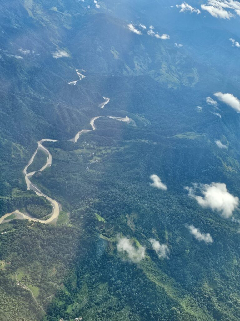
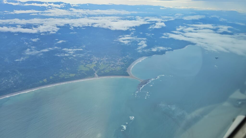
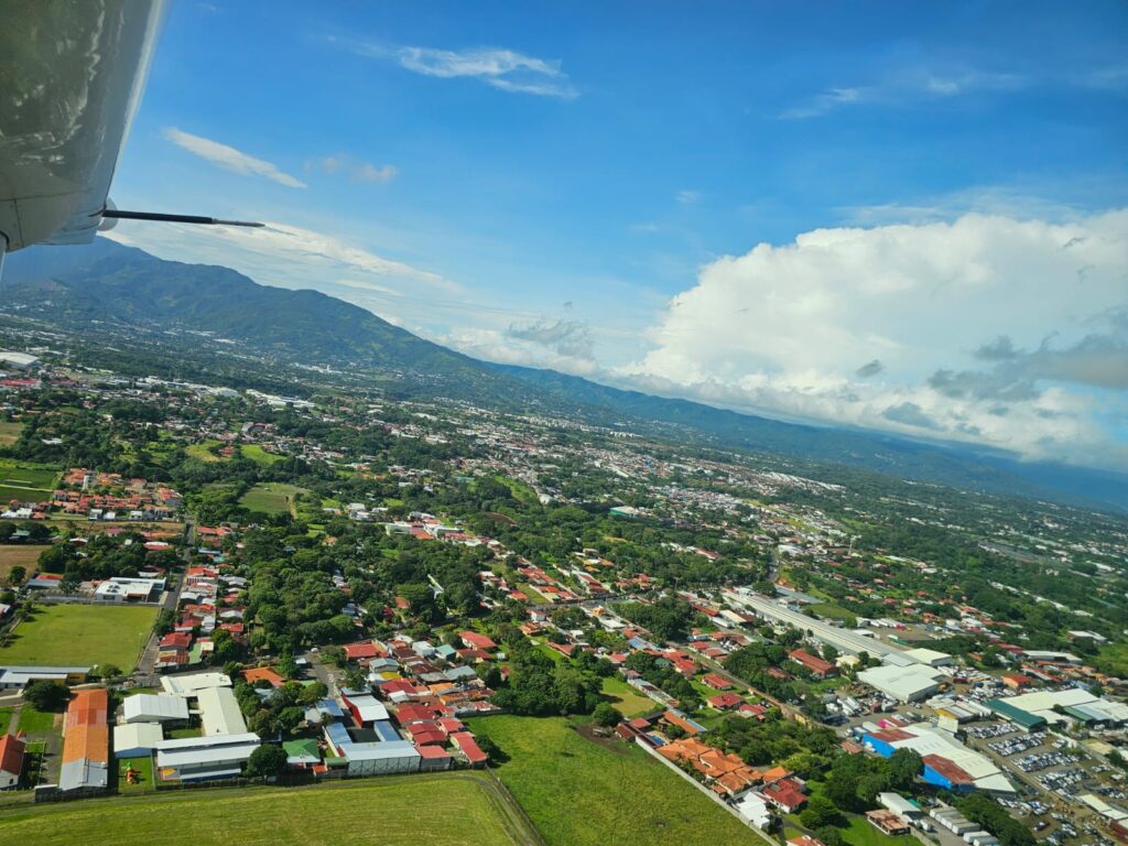
The south is alive.
Let’s be honest, the south is indeed far away, especially for those who can’t or understandably don’t want to fly, but the reward is there for those who seek it and persevere. It’s a well-known fact that Costa Rica safeguards 6% of the planet’s biodiversity in only 0.03% of its land area, and half of that 6% is located on the vibrant Osa Peninsula.
Osa has it all.
Physically, the peninsula functions as a natural fortress that isolates and protects biodiversity. It is traversed from end to end by the Sierra de Osa, a distinct and independent mountain range. Its peaks are modest, rising only between 600 and 800 meters above sea level, but they form the perfect shield to embrace and calm the waters of the Golfo Dulce.
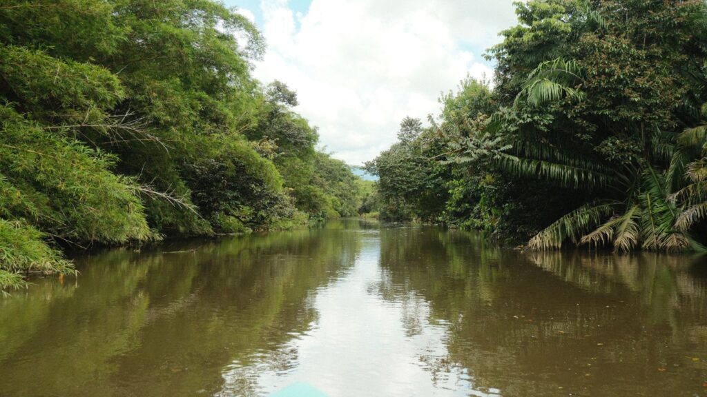
To the north, the mountains give way to alluvial plains that yield to the vastness of the Sierpe and Térraba river deltas. Taking to the skies and documenting this area from the air reveals a visual labyrinth of wetlands that ranks among the most vital and complex ecosystems in the country.
All this topography, when confronted by the Pacific winds, forges an intense and wild climate. The peninsula breathes through a very humid tropical climate with a marked monsoon influence, making it one of the rainiest regions in all of Costa Rica. Here, the skies unleash between 4,000 and 6,000 millimeters of rain annually. Except for a brief and moderate dry spell between January and April, water is the great architect of the landscape, sustaining a warm and stable environment that averages 24°C year-round, although the heat index can reach up to 35°C. It is this constant deluge that keeps the heart of its dense primary forests beating.
To manage and protect this vast area, the political map of the region (which belongs entirely to the province of Puntarenas) has recently evolved.
Towards the northwest and north, the traditionalOsa cantonIt maintains custody of critical areas. It is specifically within its Sierpe district where priceless treasures such as Drake Bay and a vast portion of Corcovado National Park are located.
Meanwhile, bordering the entire southern and eastern face, facing the calm waters of the Golfo Dulce, the nascent pulsescanton of Puerto JiménezThis is the youngest canton in the area (the 84th in Costa Rica), having just inaugurated its first local government in February 2024.
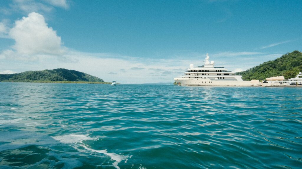
While the famousGolfitoIt deserves a special mention. Although geographically Golfito lies on the mainland coast, just across the water, its history is inextricably linked to the peninsula. For decades, Puerto Jiménez was a district under the administration of the canton of Golfito. Today, although Jiménez has taken the reins of its own development as an independent canton, Golfito remains that sister port and the great historical gateway to the south. The Golfo Dulce does not separate them; on the contrary, it is the body of water that unites them and gives meaning to joint regional efforts such as ExpoGolfo Dulce.
What to do in the South Zone?
This has definitely been a difficult article to write. In three days at the Expo, plus two more days I stayed on my own, the Southern Zone is far too rich and vibrant to explore and discover; it’s impossible to visit and see it all in one trip. You come away with the feeling that you’ve left secrets undiscovered.
Here is a list of activities I carried out, some of which I will expand upon in future articles.
- Visit the Térraba Sierpe Wetland. This is also an ideal route for visiting Drake Bay.
- Visit to Finca 6 museum and archaeological site of the Stone Spheres of Costa Rica.
- Visit to Golfito and the Golfito Free Zone.
- Whale and Dolphin Tour in Golfo Dulce
- Stay at Hotel Botanika by Hilton Curio Collections
- Tour in Chamán, in the Ballena Marine Park area.
- Visit to Wilson Botanical Garden
- Visit to San Vito de Cotobrus
- Visit Another
Residents of Tropical Fjord, sea, beach and mountain.
Osa is vibrant, wild, green, and alive. It smells of salt and damp earth. For nature lovers, the Osa Peninsula is an inexhaustible catalog of wonders, diversity, and sounds. With resident species as well as migratory giants, the Osa Peninsula practically guarantees biodiversity sightings in every corner.
| Common Name | Scientific Name | Habitat / Notes in the Region |
| Red Limpet | Ara macao | Coastal forests and canopy of the Osa Peninsula. |
| Central American Tapir or Danta | Tapirus bairdii | Dense forest and swampy areas; it is the largest land mammal in the area. |
| Humpback Whale | Megaptera novaeangliae | It uses the deep waters of the Golfo Dulce for breeding and reproduction. |
| Sweet Gulf Poison Frog | Phyllobates vittatus | Endemic to the region; it inhabits the rainforest floor. |
| Bottlenose Dolphin | Bottlenose dolphin | It has resident populations in the area surrounding the Golfo Dulce. |
| Gray-crowned Marmoset | Saimiri oerstedii | Primate endemic to the South Pacific of Costa Rica and parts of Panama. |
| Jaguar | Panthera onca | Apex terrestrial predator, dependent on large expanses of forest. |
| Geoffroy’s Spider Monkey | Ateles geoffroyi | It inhabits the upper canopy and requires primary forests with abundant fruit. |
| Mono Congo the Howler | Alouatta palliata | Very common both in dense forest and near the coasts. |
| Cariblanco Money | Cebus imitator | A highly adaptable primate with a wide distribution across the peninsula. |
| American Crocodile | Sharp-nosed crocodile | Found in mangroves, river mouths, and even swimming in the sea. |
| Caiman | Caiman crocodylus | Common in local estuaries such as Platanares near Puerto Jiménez. |
| Snake Black Plate | Lachesis melanocephala | Endemic and stealthy viper of the primary forests of Osa. |
| Whale Shark | Rhincodon typus | Occasional visitor attracted by the richness of nutrients in certain areas of the gulf. |
| Tortuga Marina Carey | Eretmochelys imbricata | It uses the beaches of the peninsula and the gulf as vital nesting sites. |