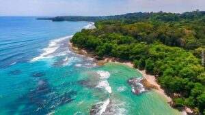
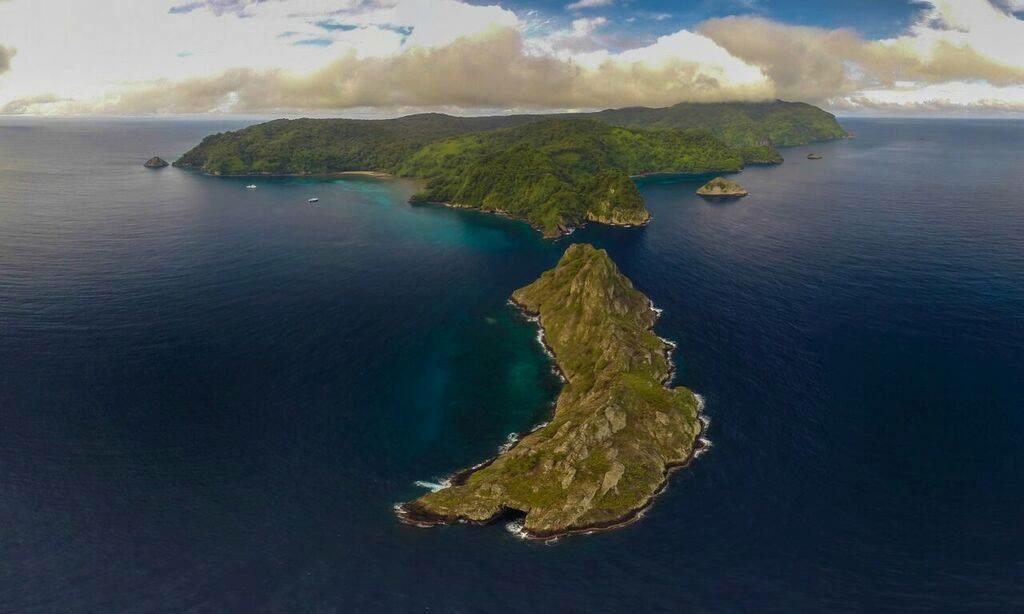
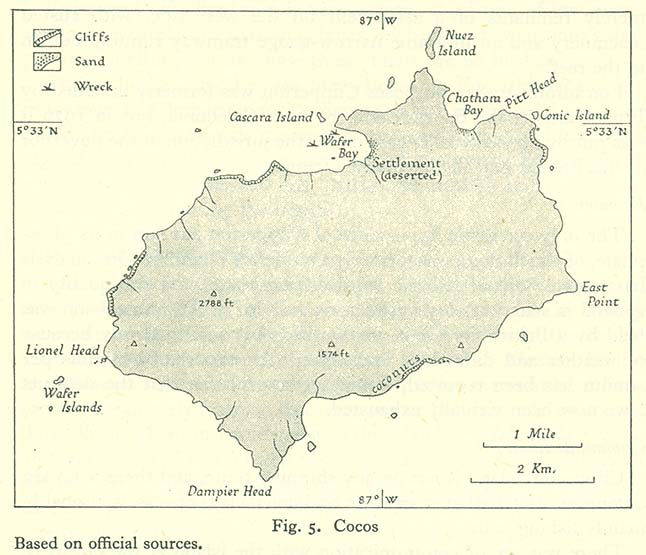
From the sky, Isla del Coco reveals secrets only science can decode. In one of Costa Rica’s most ambitious ecological mapping projects, an interdisciplinary team is redrawing this Pacific treasure with advanced technology to protect its biodiversity and strengthen environmental management.
A Natural Sanctuary That Demands Precision
Declared a UNESCO World Heritage Natural Site, Isla del Coco is home to 296 vascular plant species (48 endemic), 163 bird species, and 60% of the country’s freshwater fish endemics. Yet its cartography had not been updated for years, hindering environmental planning and monitoring.
Costa Rican Science in Action
The project, Generation of Geospatial Information of Isla del Coco using Photogrammetric and Lidar Technology, is led by the University of Costa Rica (EIT and LanammeUCR) in partnership with Faico and the Área de Conservación Marina Coco (ACMC). More than 90% of the island has already been surveyed through a combination of automated and manual flights, some launched from boats to reach the most remote areas.
Natural Challenges, Technological Solutions
Variable weather and rugged terrain complicated the missions. Curious and fearless native birds often attacked the drones mid-flight. Despite these challenges, the team succeeded in producing a high-resolution orthophoto and lidar scans that reveal the island’s relief, forest cover, water networks, and landslide-prone zones.
Why This Map Matters
According to Randy Chinchilla of Faico/ACMC, the data will:
- Enable more effective conservation strategies.
- Protect key marine habitats that sustain local fisheries.
- Strengthen SINAC’s decision-making with scientific evidence.
- Promote responsible tourism and environmental education.
- Deepen citizen engagement with the nation’s natural heritage.
The Road Ahead
The final field expedition will complete aerial coverage. Researchers will then analyze forest types, land use, and hydrological networks to guide reforestation, monitoring, and infrastructure planning.
Paul Vega of LanammeUCR summarizes it clearly: “It is a natural treasure. As a Costa Rican, I want to help conserve it. That is what drives me.”
More Than Maps
This project does more than trace lines over terrain—it builds bridges between science, conservation, and the public. Isla del Coco is being redrawn to be understood, protected, and admired as the living legacy it represents for Costa Rica and the world.