National Route 32, a critical logistical corridor connecting Costa Rica’s Central Valley with the Caribbean region, has been subject to preventive closures this week. The measure, implemented by the Ministry of Public Works and Transport (MOPT) and the National Road Council (CONAVI), is a direct response to the high risk posed by soil saturation in the mountainous section of the Braulio Carrillo National Park, known as Cerro Zurquí.
This article details the technical basis for this decision, the associated impacts, and the alternative routes provided by the authorities.


Analysis of the Current Situation
The most recent closure was executed on the night of Tuesday, August 19, 2025, and extended until the morning of Wednesday, August 20. This interruption was not due to an active landslide but was a preventive action based on technical monitoring of the slopes.
The underlying phenomenon is soil saturation. Constant and intense rainfall in the area causes the material on the slopes to absorb water beyond its drainage capacity. This creates two critical effects:
- Loss of Cohesion: The soil particles lose the friction that holds them together, making the landmass unstable.
- Increased Weight: The accumulated water significantly increases the total weight of the slope, exerting greater pressure on its base.
The combination of these factors exponentially increases the probability of landslides, which pose a direct and serious danger to vehicles traveling on the road. Therefore, closures are decreed to safeguard the integrity and lives of drivers.


National Impact and the Priority of Safety
Route 32 is the country’s main commercial artery, channeling a high percentage of imports and exports that move through the ports of Limón and Moín. Consequently, each closure, however temporary, generates a notable impact on the national supply chain, causing delays in the delivery of goods and affecting commercial dynamics.
Likewise, the interruption of passage has a significant social effect on Caribbean communities, workers who depend on the route for their commute, and the tourism sector. Nevertheless, authorities have emphasized that the absolute priority is accident prevention. The history of Route 32 includes numerous incidents due to landslides, which justifies the application of a strict safety protocol in the face of adverse weather conditions.
Official Guide to Alternate Routes
Given the possibility of new preventive closures if rainy conditions persist, authorities have enabled and officially recommended the following three alternate routes to ensure the connection between the center of the country and the Caribbean.
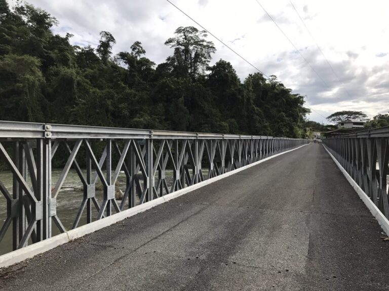
- Route 10 (via Turrialba): This is the main designated alternate route. It is open to all types of vehicles, including heavy cargo transport. Drivers should anticipate a considerable increase in travel time.
- Route via Bajos de Chilamate – Vuelta de Kopper: This highway is also open to all types of vehicles. It serves as an efficient connection between the Northern Zone and the Caribbean region.
- Route via Vara Blanca: It is essential to note that this road is restricted exclusively to light vehicles. Its topography and geometric characteristics are not suitable for buses or trucks.
Drivers are urged to consult the official communication channels of MOPT and CONAVI for updated information on the status of Route 32 before beginning their journey.