The Biological Richness of the Southern and Osa Zone
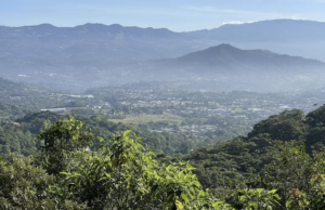
In August I traveled to the southern area, on a tighter itinerary than I would have liked, visiting Golfito, Golfo Dulce, Puerto Jiménez, Sierpe and San Vito.
The Southern Zone of Costa Rica and the Osa Peninsula are home to approximately 2.5% of the planet’s biodiversity. This fact is especially striking considering that Costa Rica, with only 0.03% of the global land area, harbors 5.6% of the world’s biodiversity; that is, almost half of the country’s total biological wealth is concentrated in this region.
The Banana Past and the Origin of “Finca 6”
The banana exodus and the arrival of the United Fruit Company
Finca 6 inherits its name from the banana-growing past of the Southern region. In 1938, the first exodus began from the Caribbean plantations that had been devastated by “Panama Disease,” a lethal fungus (Fusarium oxysporum f. sp. cubense). For the United Fruit Company, the lands of the South offered new soil where the fungus had not yet arrived.
Development of the American Zone and the dismantling of 1985
By 1940, the United Fruit Company had begun developing its enclave. The banana company’s model was virtually that of a country within a country. The wild, jungle landscape of the peninsula and the gulf was deforested to make way for banana plantations. Along with this, the United Fruit Company began developing an extensive and comprehensive railway network, villages, schools, and a hospital, in addition to its own seaport. This development zone was known as the American Zone, under the administrative name of Golfito.
Thus, from the 1940s to the 1970s, Golfito prospered in the shadow of banana plantations and the export of the fruit to international markets. In 1970, new diseases began to attack the crops and plantations in the southern region. The United Fruit Company maintained its operations in the South Pacific; however, in the 1980s, the company had to contend not only with the diseases but also with labor unions and the interventions of more active and participatory governments in the country’s decision-making. After a 75-day strike in 1984, the United Fruit Company finally decided to begin dismantling its operations, culminating in its abrupt departure from the country in 1985.
It is precisely from this banana-growing past that Finca 6 gets its name, being the sixth farm out of a total of twenty that were named with numbers.
Discovery and preservation of the archaeological site
The spheres and archaeological site of Finca 6 were discovered in the 1930s; such finds were quite common during earthmoving operations. Finca 6, however, had the great fortune that its spheres were neither dynamited nor moved to decorate houses in the American Zone or other parts of the country.
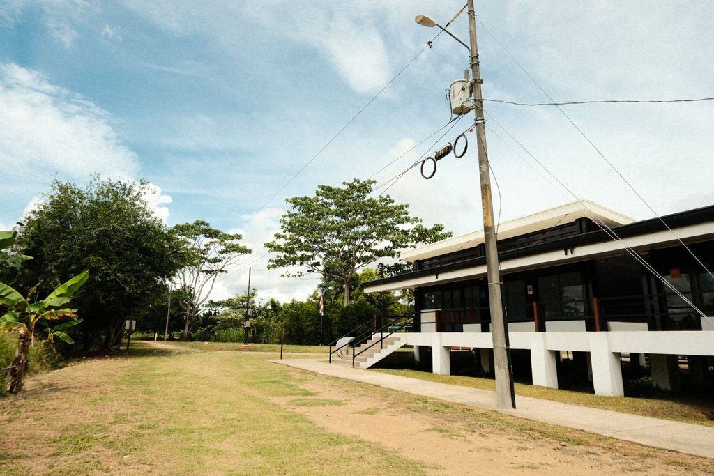
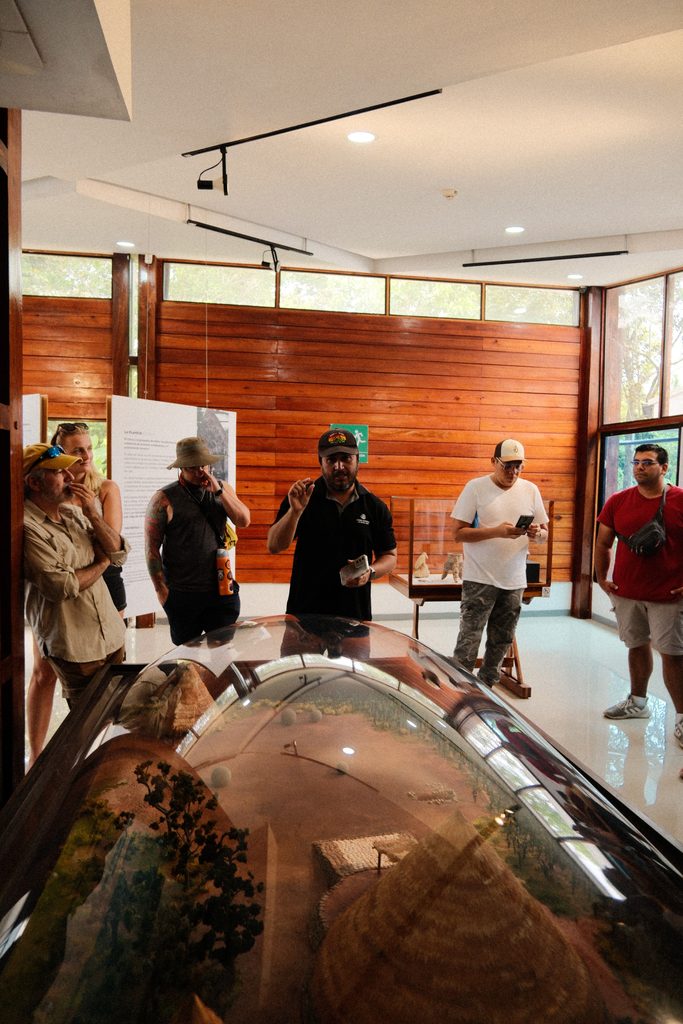
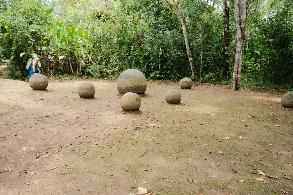
3. The Diquís Culture and the Origin of the Stone Spheres
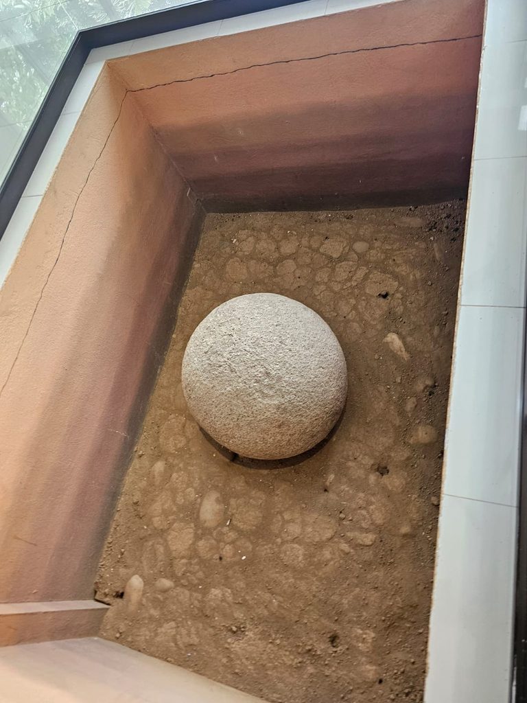
The stone spheres of Costa Rica are monoliths created by the Diquís culture, one of the most advanced and complex pre-Columbian societies in what is now Costa Rican territory. Their name comes from the Boruca language and means “great waters,” referring to the mighty Térraba (or Diquís) River that dominates the geography of the South Pacific.
Apogee, chiefdom organization and goldsmithing mastery
Their period of greatest prosperity occurred between 700 AD and 1530 AD. Their society was organized around chiefdoms, with the chief being the main political and administrative leader, while shamans served as religious leaders. Although their monolithic stone spheres are their most famous creation, the Diquís were also highly skilled goldsmiths, farmers, hunters, and fishermen.
The decline of pre-Columbian society
Its decline is closely related to the arrival of the Spanish and the epidemics of new diseases, for which the inhabitants of the New World lacked defenses and infrastructure to fight.
4. The Diquís River (Térraba) and the Fertile Valleys
Geographical importance and the Térraba-Sierpe National Wetland
Diquís is one of the names given to the Térraba River, the largest, longest, and most voluminous river in Costa Rica. It is approximately 160 kilometers long, and its immense watershed covers around 5,000 square kilometers in the Brunca Region. In its original language, Diquís literally means “Big Water.” The Térraba River originates from the confluence of the General and Coto Brus Rivers and flows into the Pacific Ocean, forming the Térraba-Sierpe National Wetland, a Ramsar site that ranks among the most important on the continent.
Sedimentation, deforestation and impact on archaeological heritage
In pre-Columbian times, the plains and their riverbanks were chosen by indigenous populations as navigation routes, sources of food, and access points for irrigation and drinking water systems. However, the river itself has been responsible for burying archaeological sites under sediments carried by floods and high water.
When the Banana Company arrived in the southern zone, sites like Finca 6 were completely buried. Deforestation and earthmoving that exposed the spheres were rarely reported; the spheres and mounds were generally moved to decorate houses in the American Zone or even dynamited, since the discovery of an archaeological site meant halting agricultural work for the categorization and inventorying of the objects.
I find it interesting to think that the same river that once nourished the Diquís culture buried its deposits as if protecting them from the activities of the banana industry, for whom those objects had little cultural or historical value compared to the value of the land worked for production.
In any case, even today some of the spheres remain buried although clearly identified because, depending on the severity of the rainy season, the area of the Finca museum can flood, according to Carlos Morales, anthropologist of the Finca 6 museum, the general policy of the museum is not to remove the objects and their place of discovery unless this is extremely necessary, since doing so means the destruction of their context.
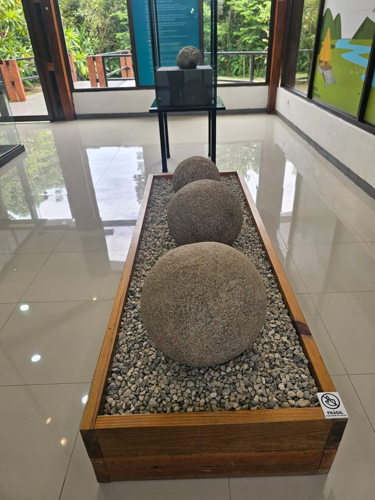
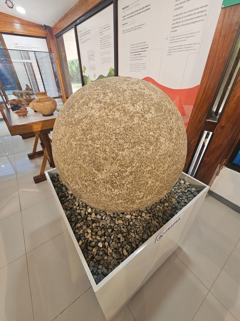
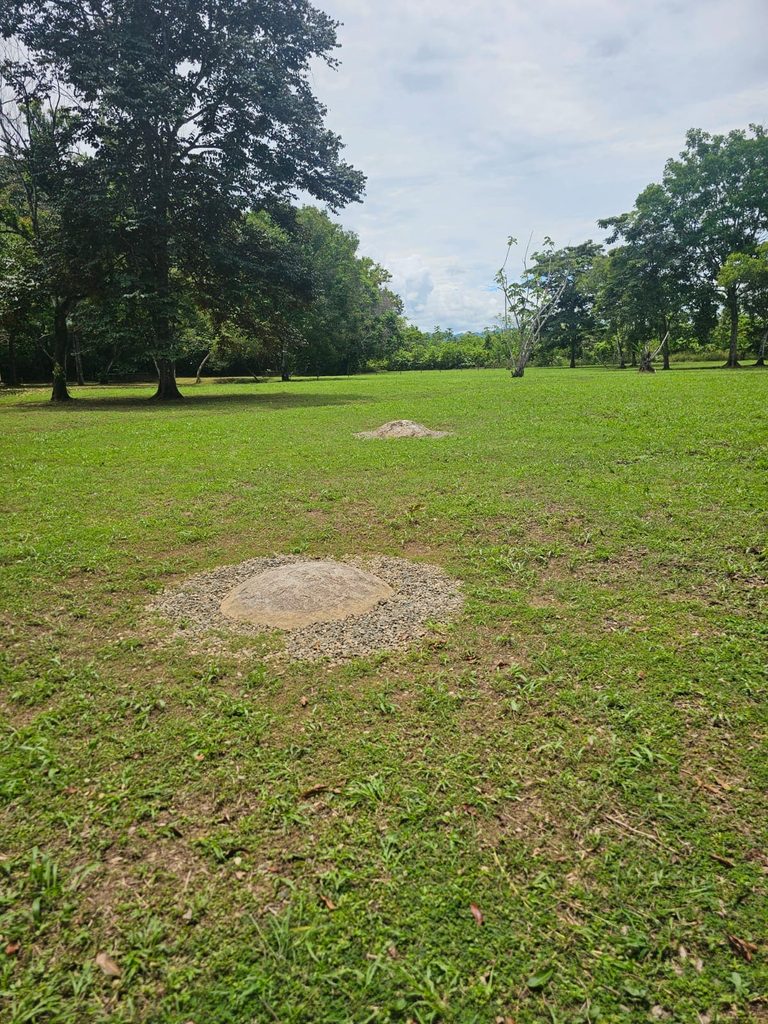
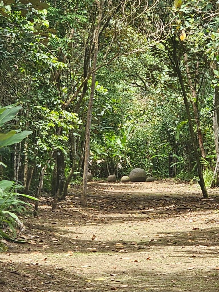
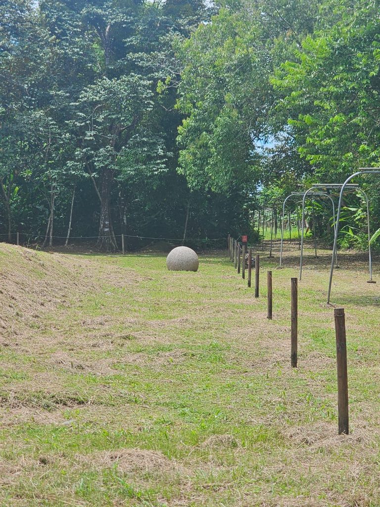
The stone calendar and the alignment of the sun.
Proof of this, and one of the most fascinating features of Finca 6, is that it is one of the few places where spheres have been preserved in their original positions. The main spheres in the public square are arranged in perfect alignments that coincide with thepassage of the sun through the zenithThis astronomical phenomenon, where the sun is positioned directly at the highest point in the sky and objects cease to cast shadows, occurs in this region exactly twice a year:
- In mid-April(around April 10-15).
- At the end of August(around August 28-30).
During these days, the alignment of the spheres coincides with the sun’s path with millimeter precision. For the Diquís culture, this visual and mathematical spectacle was not a mere coincidence, but a tool for survival. These dates marked crucial milestones in their agricultural calendar: the transition between the dry and rainy seasons, indicating to the community the exact moment to begin planting and harvesting on the fertile banks of the “Great Water.”
Costa Rica of Mesoamerica.
Visiting Finca 6 gave me the opportunity to see the stone spheres I’ve long admired in context, their construction having fascinated me within its historical and geographical framework. Costa Rica, as a country, has a recent history. The history we’re taught in schools is predominantly from the colonial era, when European settlers shaped and tamed (subjugated) the rainforest and its original inhabitants.
Costa Rica, in the heart of the continent, as an isthmus connecting two landmasses, was not only a bridge for the exchange of flora and fauna, but also for the crossing and exchange of Native American cultures. We are a continent with amnesia, and modernity and the Western spirit of development, which has been responsible for great advances in science, culture, and rights, have also been largely responsible for environmental degradation and the erasure of entire cultures and civilizations.
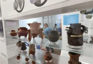
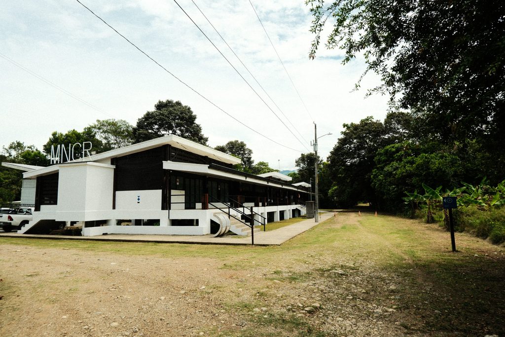
Finca 6 is located about 7 kilometers from the Palmar Norte junction, on the way to the Sierpe wetlands. While it is a small museum and the archaeological sites are not monumental, for those more sensitive to history it can be an area that encapsulates a different era—ancient, wild, full of mystery—that feels geographically close, understandable, almost personal, yet at the same time distant and unattainable, raising more questions than answers.
The south is far away, but it rewards those who visit. Finca 6 is a museum to be explored at a slow and contemplative pace. The museum is open Tuesday through Sunday from 8:00 a.m. to 4:00 p.m.